

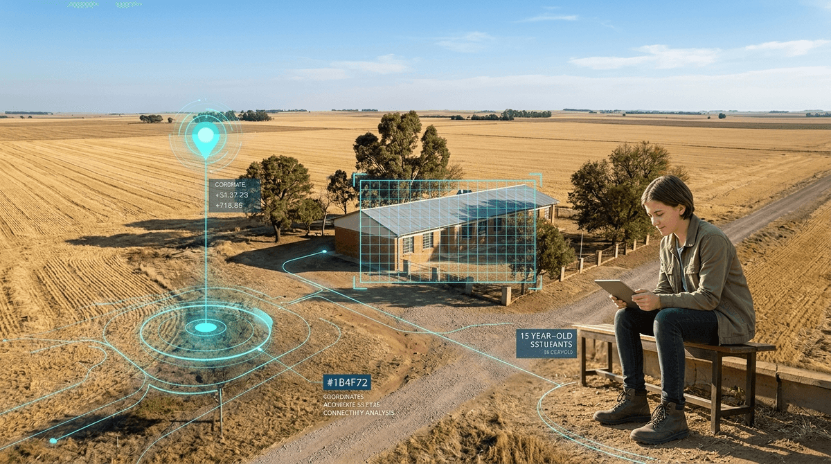

Computer algorithms can now spot unmapped schools and cell towers from space to pinpoint exactly where classrooms lack internet access. It means rural and underserved communities may soon get wired based on cold satellite data rather than waiting on slow government paperwork.
An AI model scanning satellite photos maps school buildings and mobile towers simultaneously, revealing which classrooms sit in internet dead zones with zero on-the-ground footwork required.
If your family lives in a rural pocket or outside a major metro, your school's online learning resources often depend on flawed maps drawn by telecom companies claiming complete coverage.
When funding agencies rely on automated satellite verification instead of self-reported coverage maps, remote schools get pushed to the front of the broadband line. For kids who lose hours of instruction whenever school shifts online or homework requires streaming video, accurate spatial data is the first step toward getting actual fiber or reliable 5G to their desks.
Paper-based government registries of schools are notoriously broken, especially in remote regions where informal or rural schools go unrecorded for years. Telecom carriers frequently claim an entire district has cellular service when the actual schoolhouse sits behind a ridge with zero bars. Closing educational achievement gaps requires knowing which specific roofs have signal overhead and which ones are stranded.
Proximity to hardware dictates educational opportunity. By analyzing high-resolution aerial imagery across Lesotho, researchers proved an AI model can locate school clusters and telecommunications towers at the same time, computing the distance between them automatically.
- Transferable detection: The computer-vision system adapts to new landscapes with minimal training data, meaning it can map a whole new country's educational dead zones in days.
- Physical distance works as a baseline: Measuring straight-line distance between detected classrooms and the nearest transmission tower accurately flags where digital learning is physically impossible.
- Bypassing bureaucracy: The model caught unregistered school sites that official state databases missed entirely.
Broadband maps provided by commercial internet providers are often marketing documents, not reality. When independent algorithms audit infrastructure from orbit, school districts and community advocates gain leverage against service providers who claim rural schools are "already covered."
Living next to a cell tower does not mean the classroom inside has Wi-Fi. The model measures physical proximity, which ignores bandwidth throttling, tower congestion, hardware costs, and whether a school can even afford an internet subscription.
The technology has also only been demonstrated in Lesotho so far. Architectural styles, tree cover, and mountain topography in other parts of the world could confuse building-detection algorithms until models are retrained. And because this paper is a preprint, it has not yet completed formal peer review.
- If your child's rural school suffers from chronic connectivity dropouts during homework hours… Ask your school board whether their grant applications rely on commercial coverage maps or local speed audits, since official maps routinely overestimate tower range.
- If you are considering moving to an outlying district for cheaper housing… Test real-world mobile data speeds directly in the school's parking lot rather than trusting coverage maps provided by carriers or real estate listings.
- If your family relies on mobile hotspots for school assignments… Check the physical line of sight between your home and the nearest cell mast to identify whether terrain is degrading your connection.
Satellites and computer vision are stripping away excuses for why remote schools lack basic internet connectivity, giving communities the raw data needed to demand real infrastructure funding.
Zakarya Elmimouni, Sandor Farkas, Fares Fourati et al. (2026). Signal from Space: Detecting Schools and Towers to Bridge the Digital Divide. arXiv (preprint). — arxiv.org